GeoCue and Microdrones partner with Vectors Inc. as authorized distributor for drone surveying equipment
26.09.2023GeoCue and Microdrones, leaders in drone LiDAR equipment and software, announces a new partnership with Vectors Inc., a prominent authorized Trimble dealership and geospatial supplier serving the Western United States. This exciting collaboration brings together industry leaders committed to delivering unparalleled technology and support to their clients while pushing the boundaries of geospatial innovation.
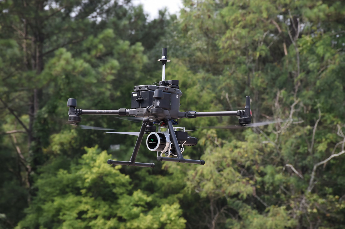 GeoCue and Microdrones partner with Vectors Inc. as authorized distributor for drone surveying equipment
© Microdrones
With offices in Aurora, CO, and Albuquerque, NM, Vectors Inc. will serve as a strategic opportunity to expand the reach of GeoCue and Microdrones for new drone surveying customers across the Western United States. Vectors Inc. is now authorized to provide TrueView 3D Imaging Sensors, fully integrated systems from Microdrones and LP360 LiDAR Processing Software.
When asked about the decision to become a distributor, Vectors Inc. New Mexico Regional Manager, Dustin Hoaglin, expressed his strategic approach, noting that GeoCue's reputation in the geospatial sector was a major factor. "Signing on as a dealer was a strategic decision driven by their unmatched reputation in the geospatial industry,” explains Hoaglin. “Microdrones and GeoCue's track record of delivering high-quality and innovative solutions and its commitment to customer success align perfectly with our values. Their comprehensive solutions present a tremendous opportunity for us to offer our clients the latest advancements in the field."
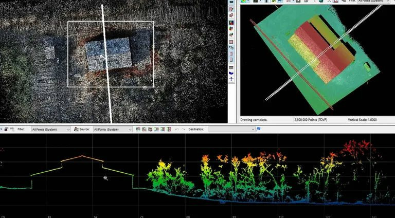 LP360 enables users to efficiently turn complex LiDAR data into actionable insights
© GeoCue
Customers will also have access to LP360 LiDAR & photogrammetry 3D point cloud software. "LP360’s robust capabilities for point cloud management, feature extraction, and 3D visualization open a world of opportunities for our clients,” said Hoaglin. “With LP360, users can efficiently turn complex LiDAR data into actionable insights, enabling them to make informed decisions. This tool will undoubtedly elevate our clients' ability to extract valuable information from their geospatial data. Microdrones and GeoCue's track record of delivering high-quality and innovative solutions and its commitment to customer success align perfectly with our values. Their comprehensive solutions present a tremendous opportunity for us to offer our clients the latest advancements in the field,” said Dustin Hoaglin.
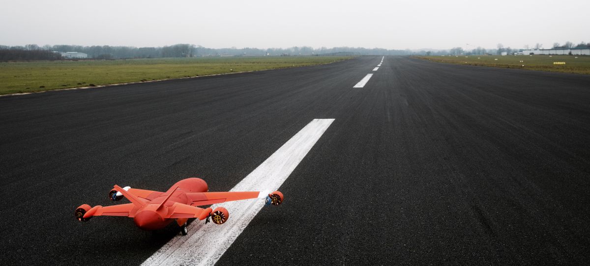
Among the exciting new offerings, Vectors Inc. is particularly enthusiastic about the Microdrones EasyOne Drone LiDAR system. This advanced drone technology combines ease of use, advanced mapping capabilities, and a smaller design form, making it stand out in the market. According to Hoaglin: “The EasyOne Drone's VTOL (Vertical Takeoff and Landing) capability, integrated LiDAR system, and impressive range enable data collection in challenging terrains and environments. This level of innovation excites us as it directly aligns with our goal of providing our clients with cutting-edge solutions that deliver exceptional results.”
The synergy between GeoCue's geospatial expertise and Vectors Inc.'s dedication to technology and client support creates an unparalleled suite of geospatial tools and services. Aaron Beach, the Western Sales Manager for GeoCue and Microdrones helped cultivate the partnership. “The Vectors team are experienced UAS users, and passionate about 3D imaging products,” said Beach. “Their veteran team takes great pride in delivering world-class service and support, which made them a natural fit for us to partner with.”
The shared values of innovation, customer satisfaction, and pushing the boundaries of what's possible lay the foundation for incredible outcomes and opportunities for clients. Perhaps Hoglin summed it up best when he said, “In a world where geospatial magic meets cutting-edge technology, we've teamed up with GeoCue and Microdrones to write a thrilling new chapter. Picture this: Drones soaring over landscapes, LiDAR beams painting the terrain, and data insights flowing like never before. Ready for this geo-adventure? Buckle up, because the future of geospatial solutions just got a whole lot brighter.”

